
Srinagar, January 19:
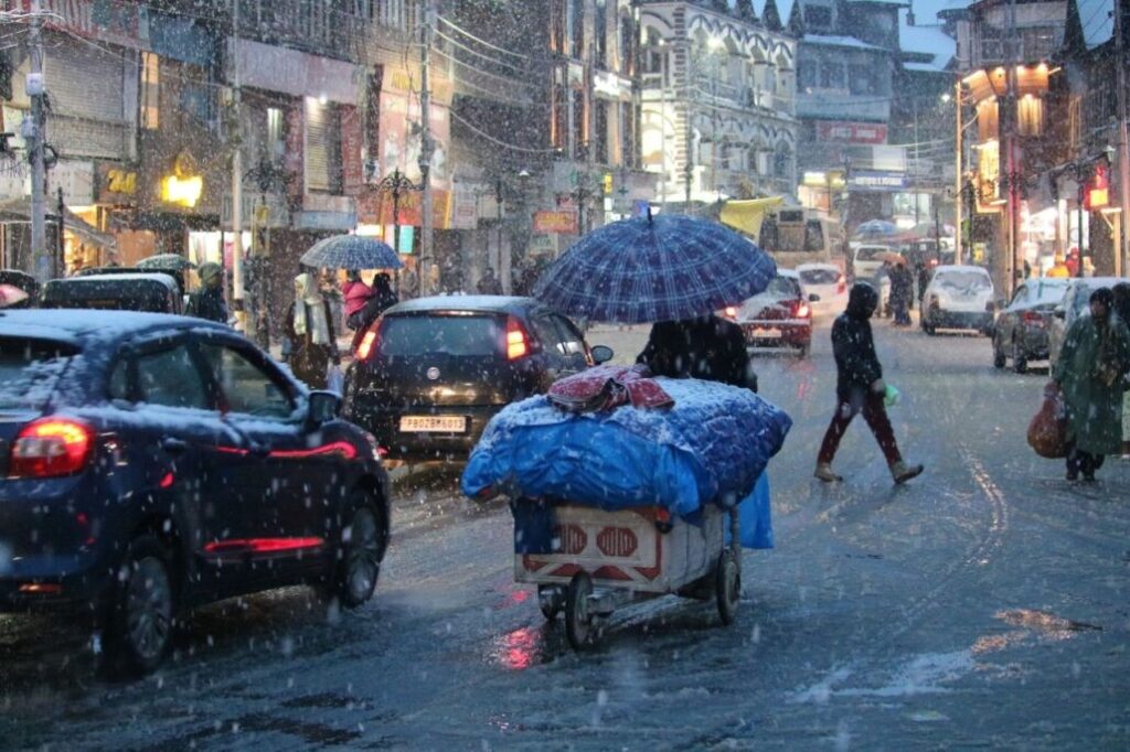
The Meteorological (MeT) Centre Srinagar has issued a high-priority weather advisory for Jammu and Kashmir, forecasting a prolonged wet spell from January 19 to January 25, 2026. Residents and travelers are urged to prepare for intermittent light rain and snow, with intensity expected to peak significantly mid-week.
The Forecast: Key Dates and Regions
According to the MET department, the weather system will bring widespread precipitation across the Union Territory, with the most intense activity scheduled for January 23 and 24.
-
Higher Reaches: Heavy snow is predicted for the Chenab Valley, the Pir Panjal range, and parts of South Kashmir.
-
Plains: Light to moderate rain and snow are expected at most locations.
-
Current Conditions (Jammu and Kashmir): * Temperature: 17°C (Daytime High) / 7°C (Nighttime Low)
-
Wind: 5 mph from the West
-
Precipitation Chance: 35% (Light rain currently observed in some areas)
-
Major Risks & Advisories
Authorities have warned that the combination of heavy precipitation and gusty winds could lead to several localized hazards:
-
Travel Disruptions: The weather system is likely to trigger landslides and shooting stones at vulnerable spots, particularly along the Srinagar-Jammu National Highway (NH-44) and other mountainous roads.
-
Agricultural Impact: Farmers are strictly advised to suspend all farm operations during this period to avoid crop damage and safety risks.
-
Traveler Safety: Commuters are urged to check the status of routes with Traffic Control Units (TCUs) before beginning any journey and to carry anti-skid chains when traveling through higher reaches.
Weekly Outlook at a Glance
Jan 19 – 20: Generally cloudy with light rain/snow at scattered places, Jan 21: Partly sunny; light snow limited to isolated higher reaches, Jan 22 (Night): Active Western Disturbance arrives; precipitation begins to increase, Jan 23 – 24 (Peak Intensity): Heavy snow/rain likely in South Kashmir and Chenab Valley and Jan 25: Conditions begin to ease with isolated light rain or snow.
The MET Centre and local administration continue to monitor the situation closely. Stay tuned for real-time updates as the weather system progresses.


